How Virtual Serial Port Driver Solved an Onboard Navigation Challenge — 750 Nautical Miles from Home
When you're sailing one of the most remote stretches of coastline in Australia, "reliable navigation" isn't a nice-to-have. It's the difference between a good day and a very bad one.
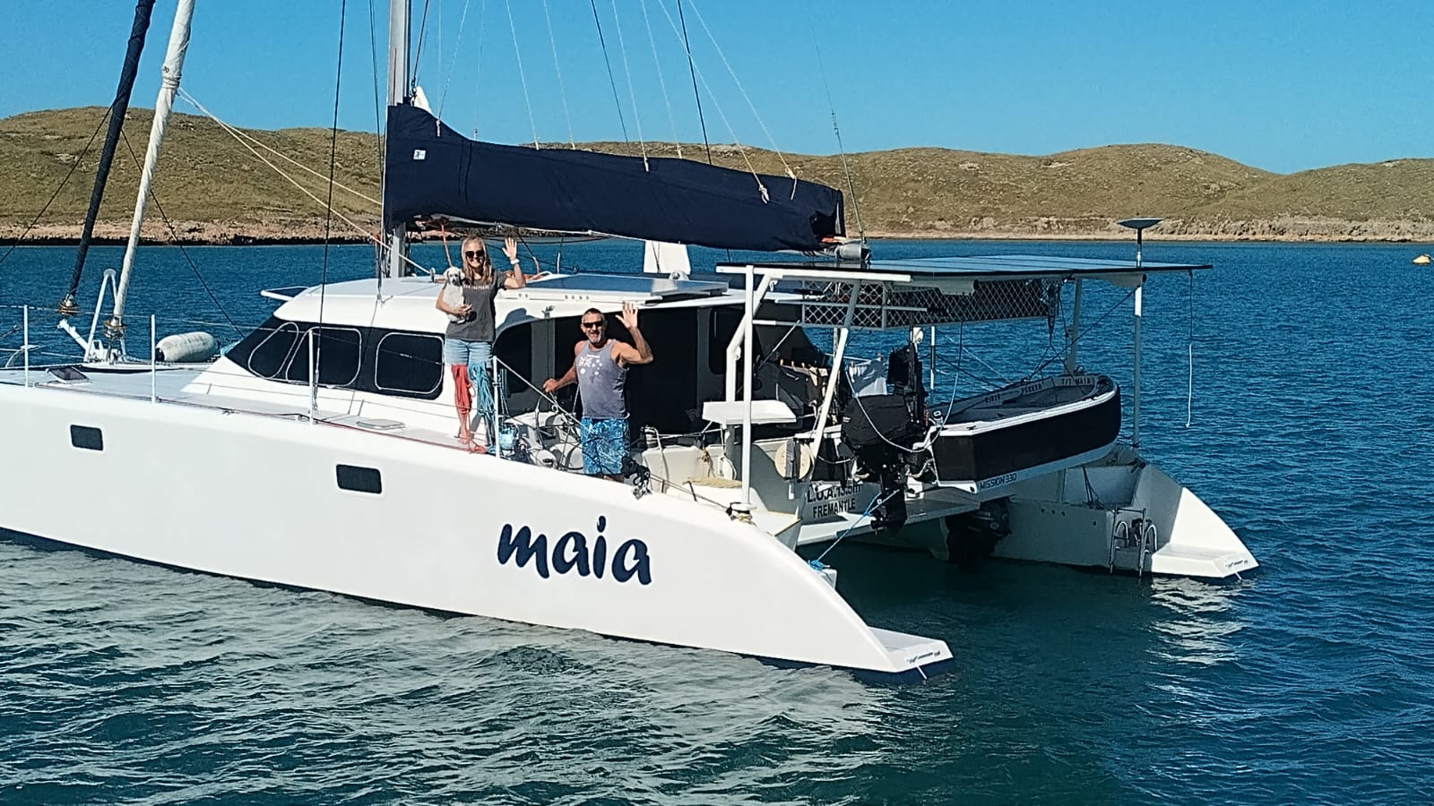
That's the world Pete and Mel live in. The cruising couple — joined by their toy poodle, Ella — left their home port of Perth in April 2026 aboard Maia, their 44-foot sailing catamaran, and have been working their way up Australia's spectacular north-west coast ever since. By the time they wrote to us, they were anchored in the Montebello Islands, roughly 750 nautical miles from home.
This is their story of running two navigation systems off a single GPS feed — and the one-port limitation that almost kept them from doing it.
Maia carries an older Raymarine C120 chartplotter and GPS, paired with a GME AIS transceiver wired through the VHF radio. Solid, proven gear — but in this part of the world, one display isn't enough.
Much of the north-west coast remains only partially surveyed. Official charts often lack the detail needed to pick a safe line between reefs and coral bommies, so Pete and Mel lean on two pieces of software to fill the gap:
- OpenCPN, for overlaying high-resolution satellite imagery so they can spot safe water that simply doesn't appear on conventional charts, plus solid AIS traffic monitoring.
- TimeZero, for distances and bearings between waypoints, speed-over-ground estimates based on tidal flow, radar integration, and traditional chart navigation.

The routine: plan each passage in OpenCPN, tracing the deeper water visible in the satellite layer, then export the route into TimeZero for the radar and tidal picture.

Running both side by side matters even more since Cyclone Narelle passed through earlier this year — water clarity around the Montebello Islands has stayed poor, making reefs and shallow patches hard to spot by eye. Two independent systems, each fed live data, are doing real safety work here.
The problem: one port, two programs
There was one catch. Both the GPS and AIS feeds arrive through a single physical COM port, and Windows will only let one application claim that port at a time.
In practice, that meant choosing: open OpenCPN for the satellite overlay and lose TimeZero's radar and tidal calculations, or open TimeZero and lose the satellite view. Each program could back up the other, but they couldn't run together — which defeated the point of having two systems in the first place.
As Pete put it, when you're threading a passage between coral reefs in remote waters, redundancy isn't a luxury. It's part of how you navigate safely.
Finding a fix without a hardware order
The obvious answer — extra serial-port hardware to split the incoming data — runs into an obvious problem when you're anchored more than 70 nautical miles from the nearest marine electronics supplier. Ordering a part isn't a same-day fix out there.
With Starlink onboard, Pete and Mel went looking for a software route instead, and found Virtual Serial Port Driver. Rather than adding hardware, it creates multiple virtual COM ports from a single physical port, so several applications can read the same live GPS and AIS stream at once.
Amazingly simple
They downloaded the 14-day trial expecting to spend an afternoon on it. Instead, within a few minutes they'd duplicated both the GPS and AIS ports — no rewiring, no extra hardware, no complicated configuration.

The bundle above shows the actual setup running on Maia: COM3, the real AIS port, split into COM10 (virtual, feeding OpenCPN) and COM11 (virtual, feeding TimeZero) — both reading the same data, simultaneously, in real time.